Boundaries and regions in Choropleth maps
You can choose administrative boundaries and their subdivisions by querying them or on the map.

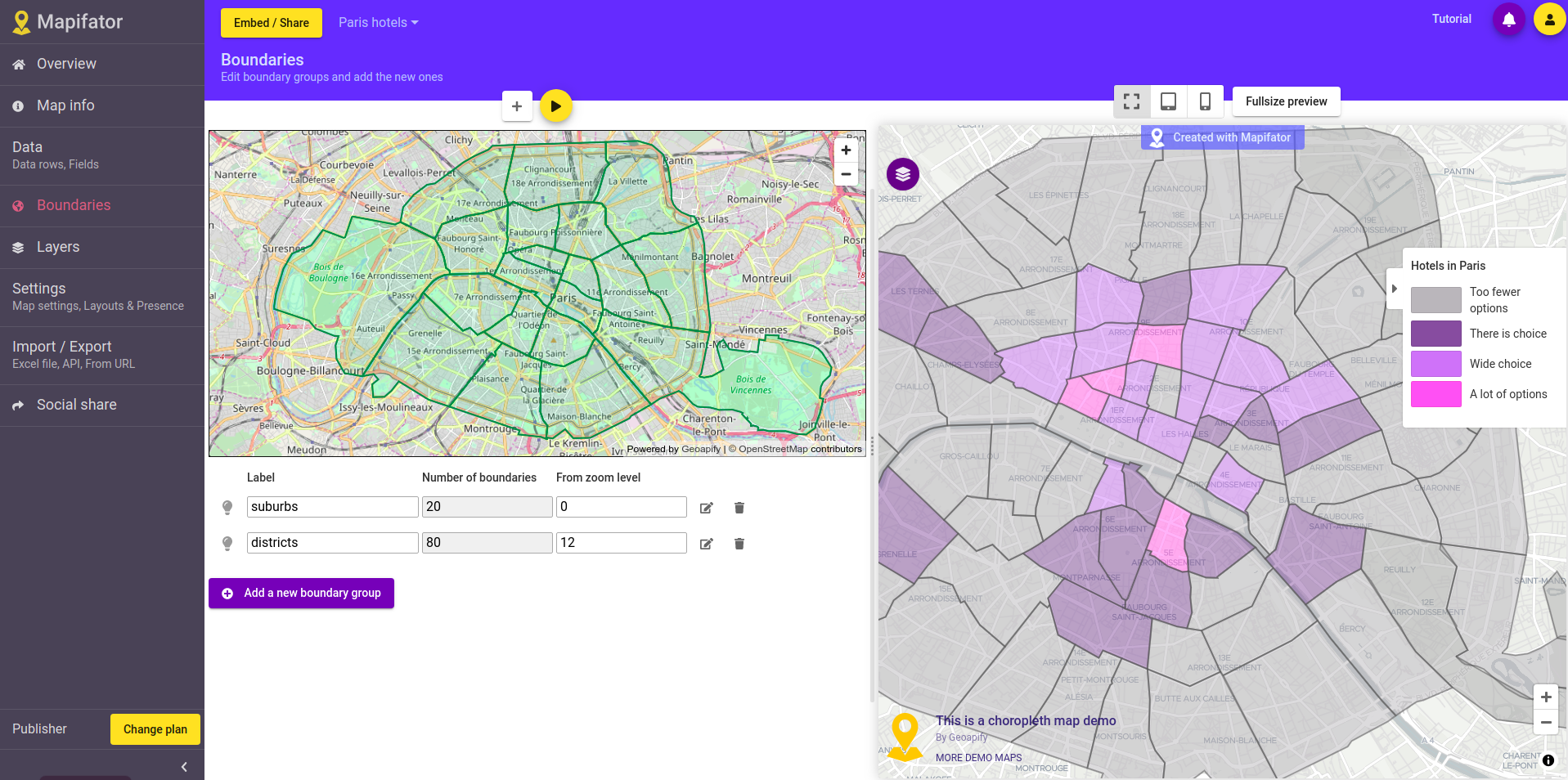
Go to the “Boundaries” map editor tab to edit an existing or adding a new boundary group. A boundary group can have one or multiple boundaries.
Boundaries editor dialog
The boundaries dialog is opened when you edit a boundary or add a new one. There is a 3 options to add boundaries in Mapifator:
Option 1. Choose a boundary on the map
Enable selection mode and click on the map to choose a boundary:

Node! Depending on map zoom level Mapifator will offer you different levels of boundaries. For example, when a map is zoomed out, countries, states are proposed, on bigger zoom levels - counties, districts.
Option 2. Enter boundary name and choose it from the dropdown list
Enter a country, state, county, or city in the address field:

Option 3. Get subdivisions of the boundary
Enter a country, state, county, or city in the address field and get it’s subdivisions:

Change sublevel to get subdivisions of bigger hierarchical levels:

Get local names
You can get boundaries local names by changing the language:

Show different boundaries groups on different map zoom levels
When you have set the minimal and maximal zoom for each boundary group. This allows switching boundary groups when the map is zoomed in or zoomed out.
For example, show country states when a map is zoomed out and counties when the map is zoomed in.

Have more questions?
Contact us with a live-chat or write us an email ([email protected]) if you have questions!